Find your way around the province
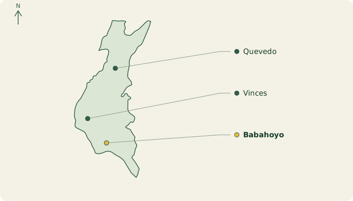
- Babahoyo
- Quevedo
- Vinces
What to discover
Vinces and Abras de Mantequilla introduce wetlands; Babahoyo adds another river perspective.
Heritage and traditions
Montubio traditions and bollos de pescado connect local stories with produce. Seek specific people and practices rather than a uniform folklore.
A suggested stay
For a future visit, choose a base and a guided outing after checking travel conditions.
Plan this stop
Consult travel advice and water conditions. A museum reference to a boat or site does not confirm a current visitor service.
Festival and seasonal calendar →
Practical information
When to go
December to May is generally warmer and wetter on the coast; June to November is often drier and cooler, with overcast days possible. Conditions differ between the humid north and the southern coast.
What to book or arrange
Contact farms or producers before visiting. For river outings, agree departure point and route according to water levels.
Local food to try
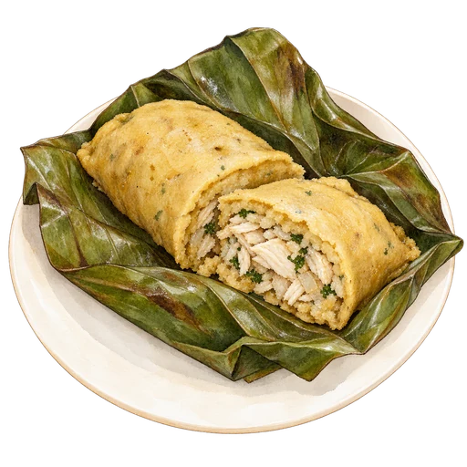
Bollos de pescado combine plantain and fish cooked in a banana leaf. Humitas, made with tender maize, offer another taste of the province’s farm produce.